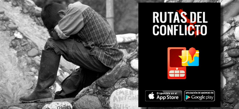
A newly developed web and mobile map application tracks massacres that have occurred in Colombia since 1982.
“Routes of Conflict” (Rutas del Conflicto) uses records complied by various organizations, including the National Center for Historical Memory, to consolidate information regarding Colombia’s history of political violence and armed conflict in one accessible database.
The resulting map is unique in that in can be accessed via mobile devices, using location-based data to show the user sites of past violence within 50 miles of their location.
The map also catalogs how many people were killed in each incident, who the victims were, what context the massacre occurred in, and what group was responsible, and includes links to related documents and newspaper articles.
In total, the database contains information on over 728 massacres.
Geography of Terror
The information for individual massacres can be accessed via multi-color points on a map of Colombia, with each point correlating to the location where an incident took place, and each color depicting the specific armed group responsible.
The map, littered with these plotted representations of the atrocities that have characterized the past three decades of internecine bloodshed, hopes to help people to visualize the country’s 50-year armed conflict in a new way. Looking at the screen, for example, it becomes clear that the Andean, Pacific, and Caribbean regions have disproportionate concentrations of violence.
Interactivity was also one of the important goals, and with that in mind, the app is based on a crowd-sourcing platform that allows users to contribute new information.
In an interview with the weekly Semana, the apps creators explain,“With [the app], the victims can verify the information they find (to see if their loved ones are listed as victims, to add conflicting information regarding the authors, or simply to provide any important details), and send their information directly to the website via their mobile phones.”
The application’s administrators then contrast the information provided by users with other sources to confirm its veracity.
Not just another statistic
Most of all, the application seeks to humanize victims and empower their families. In a country where many people have been desensitized to violence and victims marginalized, the app’s creators sought to use a new and relevant medium to present an old and relevant topic.
“Any researcher or individual who as a family member that has been killed can participate, people who normally don’t have access to centers of power. The idea is that the individual killed is not just another statistic, that their name is made public.”
The app is a project of the National Center for Historical Memory, which seeks to engage the public in the history of the country’s armed conflict, the Vierdad Abierta journalism database, and various other academic sources.
It will be updated frequently going forward, and provides a living testament to the violence that continues to impact the Andean nation.
Interested readers can download the app, available on the App Store and Google Play, by clicking through on the link below.
Sources
- Rutas del Conflicto (Routes of Conflict)
- La aplicación que muestra la barbarie en Colombia (Semana)


